Firefighters Gain More Control But Battle Gusty Winds in Schneider Springs Fire
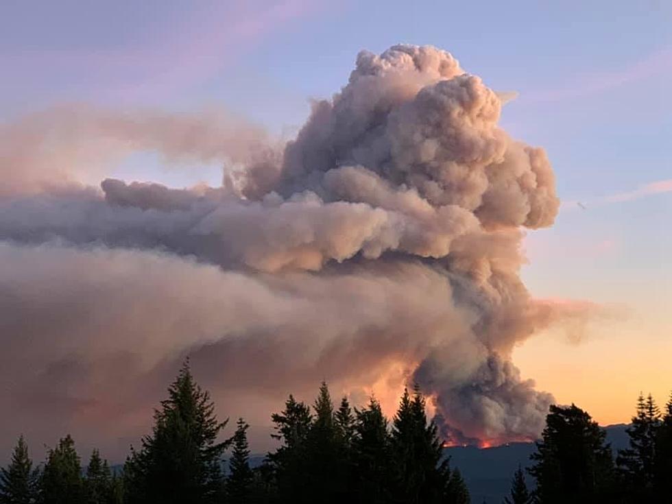
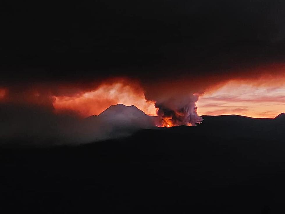
Firefighters are working to protect homes and property as they battle the Schneider Springs Fire. The fire is now at 25% containment, with 102,742 acres burned since the fire was started by a lightning strike on August 3.
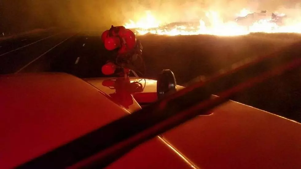
FIREFIGHTERS WORKED TO PROTECT PROPERTY ON TUESDAY NIGHT
Officials with the Okanogan-Wenatchee National Forest say on Tuesday night firefighters and air resources focused suppression efforts where around Cliffdell, Goose Prairie, and Bumping Lake because the flames are coming close to those areas.
WEDNESDAY FIREFIGHTERS ARE BATTLING GUSTY WINDS
A press release says firefighters are battling Strong valley and ridgetop winds Wednesday with gusts expected up to 30 mph.
"Moderate fire behavior is expected near Edgar Rock, the American Ridge, and Goose Prairie, with potential for increased fire activity when winds align with unburned fuels. Structure protection crews will remain vigilant in communities near the north/south area of the Highway 410 corridor, Goose Prairie, Bumping Lake, and Bumping River Road. Continued firing operations on the new fire line northwest of Cliffdell will depend on weather conditions. Suppression repairs (e.g. road grading, naturalizing dozer lines that are no longer needed, installing water bars) continue throughout contained areas of the fire."
HUNDREDS OF PEOPLE ARE STILL ON THE FIRE LINES
There's a lot of people and resources on the fire but the number is shrinking. On Monday 671 resources were on the fire. Tuesday the number is 595 which includes;
Crews (8); Engines (32); Dozers (7); Air Resources (8); Other Heavy Equipment (30)
The helicopters dumping water on the fire are based at the Yakima Airport and fly to and from the airport during the day for refueling.
EVACUATION LEVELS HAVE NOT CHANGED
LEVEL 2: Bumping River Road corridor from north to south; Highway 410 corridor from Salmon Cove to Pinecliff; LEVEL 1: Highway 410 corridor from Pinecliff to the junction of U.S. Route 12, and from U.S. 12 at Hwy 410 west to Tieton Reservoir Rd. See map at Yakima Valley Emergency Management: https://www.facebook.com/YakimaCountyOEM . Sign up for alerts at Yakima County geo-specific emergency alert system: https://www.yakimacounty.us/2222/Alert-Yakima
Closures: An area closure for National Forest System lands is in effect. The closure order and map are available at https://inciweb.nwcg.gov/incident/closures/7775/. Campfires are prohibited throughout the Okanogan-Wenatchee National Forest. All Washington Department of Natural Resources managed lands in the fire area are temporarily closed, more at: https://www.dnr.wa.gov/dnr-closure-eastern-2021. A Temporary Flight Restriction (TFR) is in place over the fire area. If You Fly We Can’t Fly https://knowbeforeyoufly.org/home.
Firefighters are hoping for full containment by October 1 but the fight continues until that date.
KEEP READING: See 25 natural ways to boost your immune system
LOOK: How Halloween has changed in the past 100 years
More From 102.7 KORD


