Weather Service & Fire Dept Issue Urgent Warning 2pm to 4pm Today!
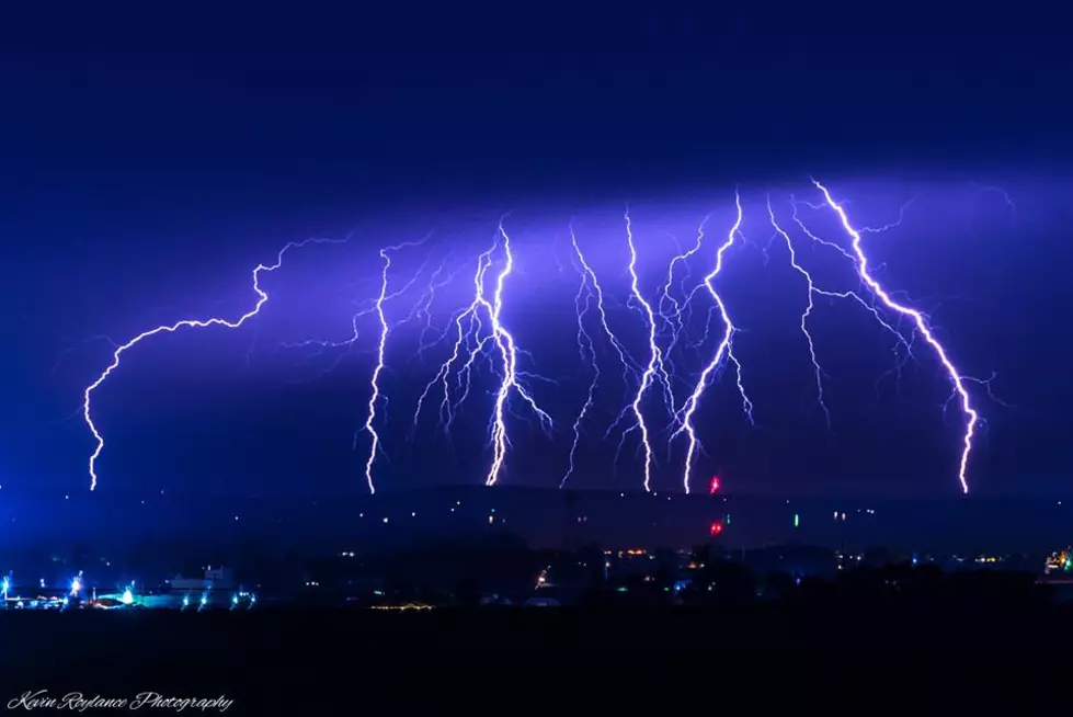
The Benton County Fire Department and the National Weather service have issued an URGENT Fire & Weather advisory for today July 23rd 2pm to 5pm a significant storm is to pass though the Columbia Basin Area including Benton Franklin and Umatilla Counties. This will be a fast moving storm with "ABUNDANT" lightning!
Here's their post:
Red Flag Warning
URGENT - FIRE WEATHER MESSAGE
National Weather Service Pendleton OR
311 AM PDT Tue Jul 23 2019
RED FLAG WARNING IN EFFECT FROM 2 PM THIS AFTERNOON TO 5 AM PDT WEDNESDAY FOR ABUNDANT LIGHTNING FOLLOWED BY GUSTY WINDS FOR FIRE WEATHER ZONES 640, 641, AND 675...
The National Weather Service in Pendleton has issued a Red Flag Warning, which is in effect from 2 PM this afternoon to 5 AM PDT Wednesday. The Fire Weather Watch is no longer in effect.
...ABUNDANT LIGHTNING AND BREEZY TO WINDY CONDITIONS LATE THIS AFTERNOON AND EVENING...
...A cold front will move across the region later today with a chance of thunderstorms followed by increasing westerly winds...
* AFFECTED AREA... Central Mountains of Oregon - Lower Columbia Basin of Oregon - Lower Columbia Basin of Washington - Eastern Washington Southern Columbia Basin.
* TIMING...Peak lightning activity will be late afternoon through the evening. Strongest winds will be evening and overnight.
* LIGHTNING ACTIVITY...Starting at 2 late afternoon then rising to 3 during the evening.
* PRECIPITATION...Precipitation will be light and storms will move fast so the chance of wetting rain is low.
* IMPACTS...Any fires that develop will spread rapidly as breezy to windy conditions are likely by evening.
PRECAUTIONARY / PREPAREDNESS ACTIONS ...A Red Flag Warning means that critical fire weather conditions are either occurring now....or will shortly. A combination of strong winds...low relative humidity...and warm temperatures can contribute to extreme fire behavior.
More From 102.7 KORD