WA Drivers: Heavy, Dense Fog Will Challenge You on the Commute
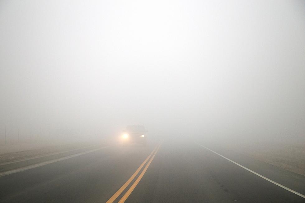
The latest weather forecast has patchy dense fog with reduced visibilities to less than a mile in areas. Expect your Friday commute to be somewhat challenging.

The National Weather Service in Pendleton has issued a Dense Fog Advisory:
Patchy dense fog will reduce visibilities to less than 1 mile in spots. If you encounter dense fog, slow down, use low beam headlights and allow for extra distance between your vehicle and those around you.
The areas affected by the Dense Fog Advisory are theLower Columbia Basin of Oregon and the Foothills of the Northern Blue Mountains of Oregon. In Washington, Yakima Valley, Lower Columbia Basin of Washington and Foothills of the Blue Mountains of Washington. Cities affected include Boardman, Hermiston, Ione, Pendleton, Pilot Rock, Naches, Sunnyside, Toppenish, Yakima, Connell, Prosser, Tri-Cities, Dayton, Waitsburg, and Walla Walla.
We've had fog more often than not in previous days. Dense Fog is no joke.
On Monday night, thick fog appeared out of nowhere. I was traveling home from a late appointment in Pasco. I was driving in an unfamiliar neighborhood, and the fog was so dense, I HAD to use my high beams. I couldn't see anything. I knew a block up would be Lewis Street. Finally, some clearing and a road I know. Although, traveling I-182 to Richland was a scary commute that night. When I exited at Queensgate, the fog had lifted. I was safe.
Honestly, I'm grateful that it's not freezing fog. As long as we know the forecast, we can plan ahead. Leave a little earlier, allow extra time to reach our destination safely, we'll be ok. For your safety, check out tips to navigating fog in WA.
LOOK: The most expensive weather and climate disasters in recent decades
Gallery Credit: KATELYN LEBOFF
LOOK: The longest highways in America
Gallery Credit: Hannah Lang
LOOK: Here are the states where you are most likely to hit an animal
Gallery Credit: Dom DiFurio & Jacob Osborn
LOOK: See how much gasoline cost the year you started driving
Gallery Credit: Sophia Crisafulli