According to the University of Washington Climate Outlook page and the National Weather Service Climate Prediction data, the probability of cooler temperatures is high for the Pacific Northwest this April through June. The summer months appear to be a tossup - it could be hellishly hot again.
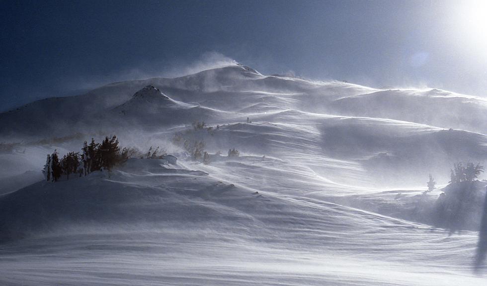
After nearly a week of frigid temperatures, ice storms, and heavy snow, Mother Nature is shifting gears. The National Weather Service has issued a wind advisory for Southeast Washington and Northeast Oregon from 7 am to 9 pm on Friday, January 7th.
The high wind warning is expected to continue through 4 pm this afternoon. Walla Walla County officials are recommending residents use extreme caution when driving on rural roads, and limit travel if possible.
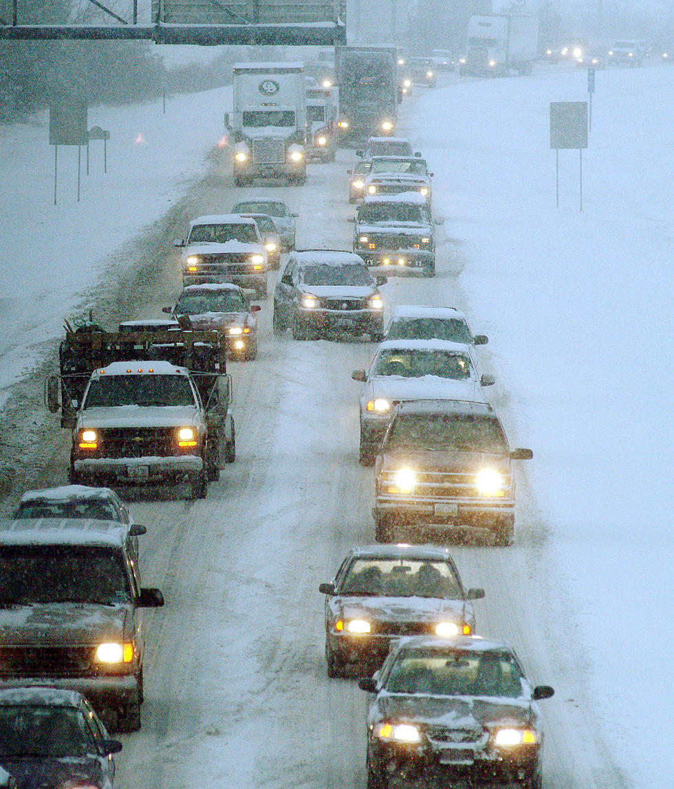
If you're planning to drive to the west side of the mountains this week, make sure you're prepared with chains, plenty of fuel, a bathroom stop before you go, and some snacks. If you have an all-wheel-drive vehicle it shouldn't be a problem.
The National Weather Service has issued a wind advisory for all of eastern Washington and northeast Oregon on Thursday. Temperatures will be warming up and the pressure will be dropping, which means gusty winds will be rolling through the Columbia Basin.
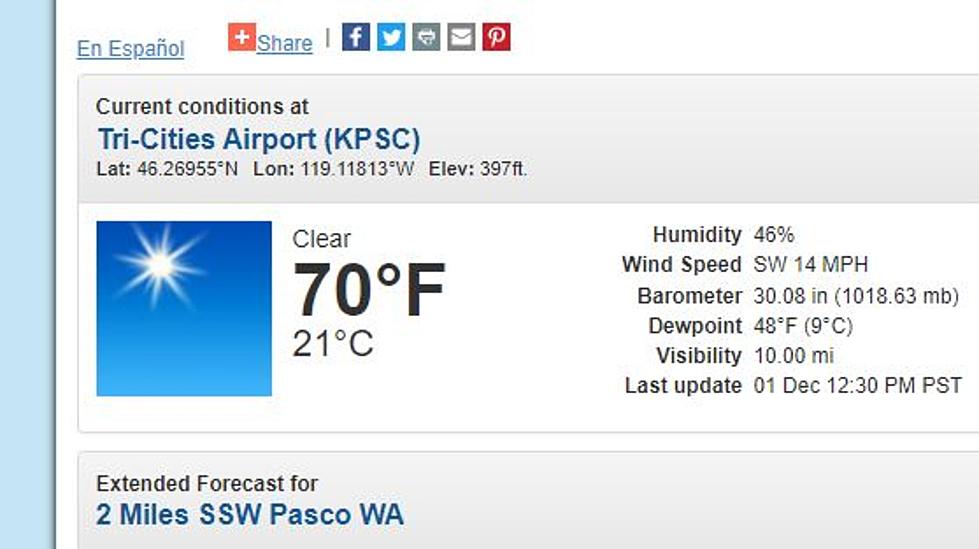
According to the Northwest Weather Service out of Pendleton, we are going to see some of our daytime highs shift from the 70's to the 50's due to a cold front that's being forecasted for the Columbia Basin region.
Hurricane Ida appears to maintain its intensity and eyewall even after landfall in Louisana, thanks likely to a rare and unusual effect known as the 'brown ocean.'